- Gaza: The largest area under military control
- Southern Lebanon: A security zone extending several kilometers
- The Litani River: A geographical line that transforms into a military axis
- Syria: The most geographically sensitive front
- The “New East” project in the Golan Heights
- From Egypt to Syria and Lebanon… what has changed?
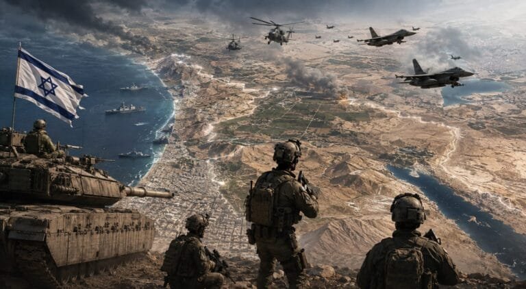
Tel Aviv, Israel – The military map of the Middle East is undergoing a significant transformation in 2026. This comes as Israel continues to establish military positions and buffer zones on multiple fronts. It also coincides with ongoing military operations in Gaza, Lebanon, and Syria. Developments on the ground reveal that Israel is shifting, on some fronts, from a border defense strategy to the creation of advanced security zones beyond its borders. This is clearly evident in southern Lebanon, southern Syria, and the Gaza Strip. Israel states that these measures are aimed at protecting its civilian and military populations from missile and armed threats.
Gaza: The largest area under military control
Gaza represents the front where Israel maintains the widest extent of territorial control outside its borders. According to the latest reports, Israeli forces control approximately 60% of the Gaza Strip. Prime Minister Benjamin Netanyahu refuses to withdraw from these areas before Hamas is disarmed. Meanwhile, Washington is pushing for a plan that includes a phased Israeli withdrawal in exchange for security arrangements and the disarmament of Hamas.
In the south, Israeli control was linked to strategic axes, most notably Rafah, the Philadelphi Corridor, and the Morag Corridor. These areas granted the Israeli army the ability to control movement between the southern Gaza Strip and the rest of the territory, as well as along the Egyptian border. The Israeli army had previously declared its control over the Philadelphi Corridor on the border with Egypt. It then established the Morag Corridor, which separates Rafah from the Khan Younis area. Consequently, the Egyptian-Gaza border became one of the most sensitive points on the new military map.
Southern Lebanon: A security zone extending several kilometers
The Lebanese front is the most important development after Gaza. In April 2026, Israel published a map of the locations of its forces in southern Lebanon. It showed a spread ranging between 5 and 10 kilometers within Lebanese territory in some areas. Israel said that the goal is to create a security zone that prevents missiles and anti-armor weapons from reaching the northern Israeli regions. Currently, Israeli forces are still present in locations inside southern Lebanon. This continues despite the de-escalation arrangements and negotiations that took place between the two sides.
This August, Israeli strikes resumed in southern Lebanon after two Israeli soldiers were killed in an explosion during a security operation. Lebanese authorities reported that Israeli strikes on the town of Tibnin killed one person and wounded 12 others. Notably, Israel did not treat the area as merely a temporary operational zone. Israeli officials spoke of a continued military and security presence there.
The Litani River: A geographical line that transforms into a military axis
The Litani River holds particular significance in Israeli military calculations. It flows from the Bekaa Valley through southern Lebanon before emptying into the Mediterranean Sea. In some sections, it lies tens of kilometers from the Israeli border. During the current conflict, Israeli demands and statements have focused on pushing Lebanese forces and Hezbollah away from the area south of the Litani. Israel has also targeted bridges and crossings over the river, claiming it is preventing the transfer of weapons and fighters. This indicates that Israeli military calculations in Lebanon are no longer confined to the border line but have become intertwined with a broader geographical area extending to the Litani axis.
Syria: The most geographically sensitive front
In Syria, the map has undergone a significant transformation since the fall of Bashar al-Assad’s regime in December 2014. Israeli forces entered the buffer zone established under the 1974 Disengagement Agreement and subsequently established additional positions in southern Syria. In January 2015, Israel announced that its forces would remain in their positions on Mount Hermon indefinitely, deeming the area essential for border security. Since then, operations and incursions have continued in the Quneitra and Daraa governorates. Recent reports have also indicated Israeli movements beyond the buffer zone itself. The importance of this area lies in the fact that Mount Hermon and the surrounding highlands offer a significant strategic advantage, enabling the monitoring of southern Syria, northern Jordan, and northern Palestine.
The “New East” project in the Golan Heights
Israel is also moving to bolster its military infrastructure in the Golan Heights. According to a report published on August 9, excavation work on a major Israeli military project in the Golan Heights has reached approximately 80%. This is part of the construction of a new system of fortifications and military infrastructure. This step is significant because it indicates that Israeli thinking is not limited to temporary military deployments, but also extends to establishing infrastructure capable of supporting a long-term military presence.
From Egypt to Syria and Lebanon… what has changed?
Placing the three fronts on a single map reveals a clearer picture. In the south, Israel borders Egypt via the Rafah and Philadelphi Corridor. In the north, Israeli forces are deployed inside southern Lebanon, several kilometers from the border. In the northeast, Israeli forces are positioned in the Syrian buffer zone and in additional locations toward Mount Hermon, Quneitra, and Daraa. This creates, for the first time in decades, an Israeli military arc stretching from southern Gaza to southern Lebanon and southern Syria.
However, this arc does not constitute a new political border for Israel.