
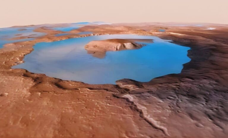
Washington – A recent scientific study has uncovered new geological evidence supporting the hypothesis of an ancient ocean that once covered vast areas of Mars. Researchers clarified that analysis of space mission imagery showed rock formations resembling ancient coastlines, intensifying the scientific debate over the Red Planet’s aquatic history. Accordingly, the search for water on Mars 2026 remains the cornerstone of understanding the planet’s climate evolution, as observed deposits indicate long-term water movement, reopening questions about past habitability.
Lost Shorelines: How Did Water Map Ancient Mars?
The scientific team indicated that these new indicators strongly support a scenario of massive lakes or connected oceans covering the planet in its early stages. Obviously, these discoveries are redrawing Mars’s geological map, as the spotted sites align with water erosion patterns known on Earth. As a result, studying the Martian climate history has become more complex and intriguing, prompting space agencies to intensify efforts to verify if the planet once possessed the atmosphere necessary to sustain liquid water.
Future Missions: Will We Touch Martian Soil Soon?
Space scientists believe that the continuous discovery of such indicators bolsters the importance of future exploration missions aimed at collecting soil and rock samples to return to Earth. Certainly, analyzing these samples in terrestrial labs will provide definitive answers about the nature of Martian water and its geological history. Accordingly, the search for water on Mars 2026 remains the primary driver of the international space race, in an attempt to decode the planet that may have once been Earth’s “twin.”