
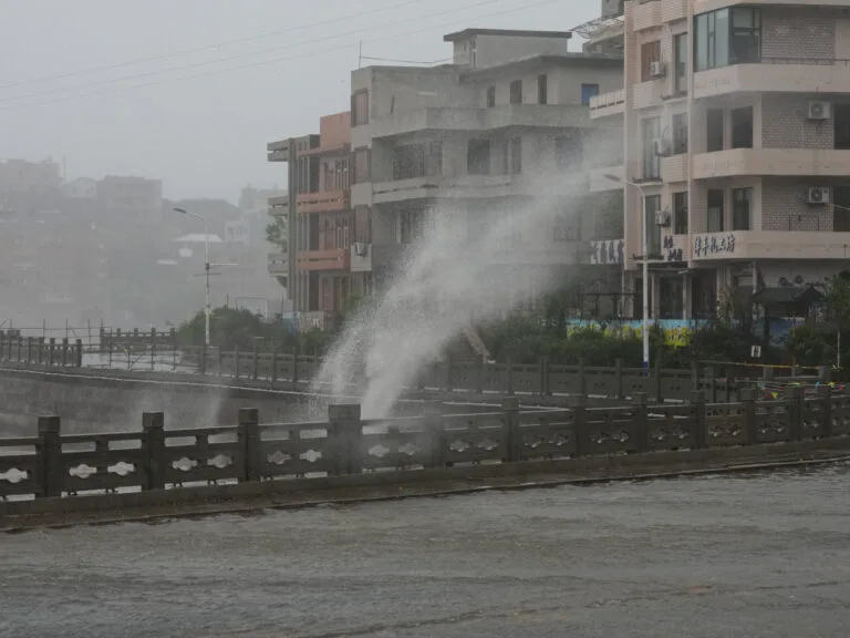
Beijing – Typhoon Dolphin, the 13th typhoon to hit China this year, officially made landfall in the Yuehuan area of Taizhou City. This city is located in eastern China’s Zhejiang Province. Consequently, the severe tropical storm has focused attention on rising extreme weather risks. These risks impact the country’s densely populated eastern seaboard.
Furthermore, China’s National Meteorological Center reported that the storm struck land at approximately 5:30 PM local time. Maximum sustained winds near the center reached 42 meters per second (equivalent to roughly 151 km/h). As a result, authorities classified Dolphin as a severe typhoon upon landfall. This classification prompted immediate disruptions to maritime transit and local transport networks.
Meteorological Warnings and Emergency Preparedness
On the other hand, national weather forecasters warned local authorities across affected regions to brace for intense precipitation and potential flash flooding. Specifically, emergency responses center on safeguarding key public infrastructure. They also include securing coastal installations and mitigating landslide hazards in surrounding elevated terrain.
Additionally, local government agencies and civil defense teams are monitoring the typhoon’s inland trajectory to implement emergency evacuations where necessary. Consequently, rapid emergency deployment and real-time public advisories remain essential to minimizing casualties and property damage.
Finally, the landfall of Typhoon Dolphin underscores the critical importance of China’s early warning systems and disaster response frameworks. Ultimately, strict adherence to emergency protocols and ongoing site monitoring will prove vital. These measures are essential to ensuring public safety throughout the storm’s duration.