
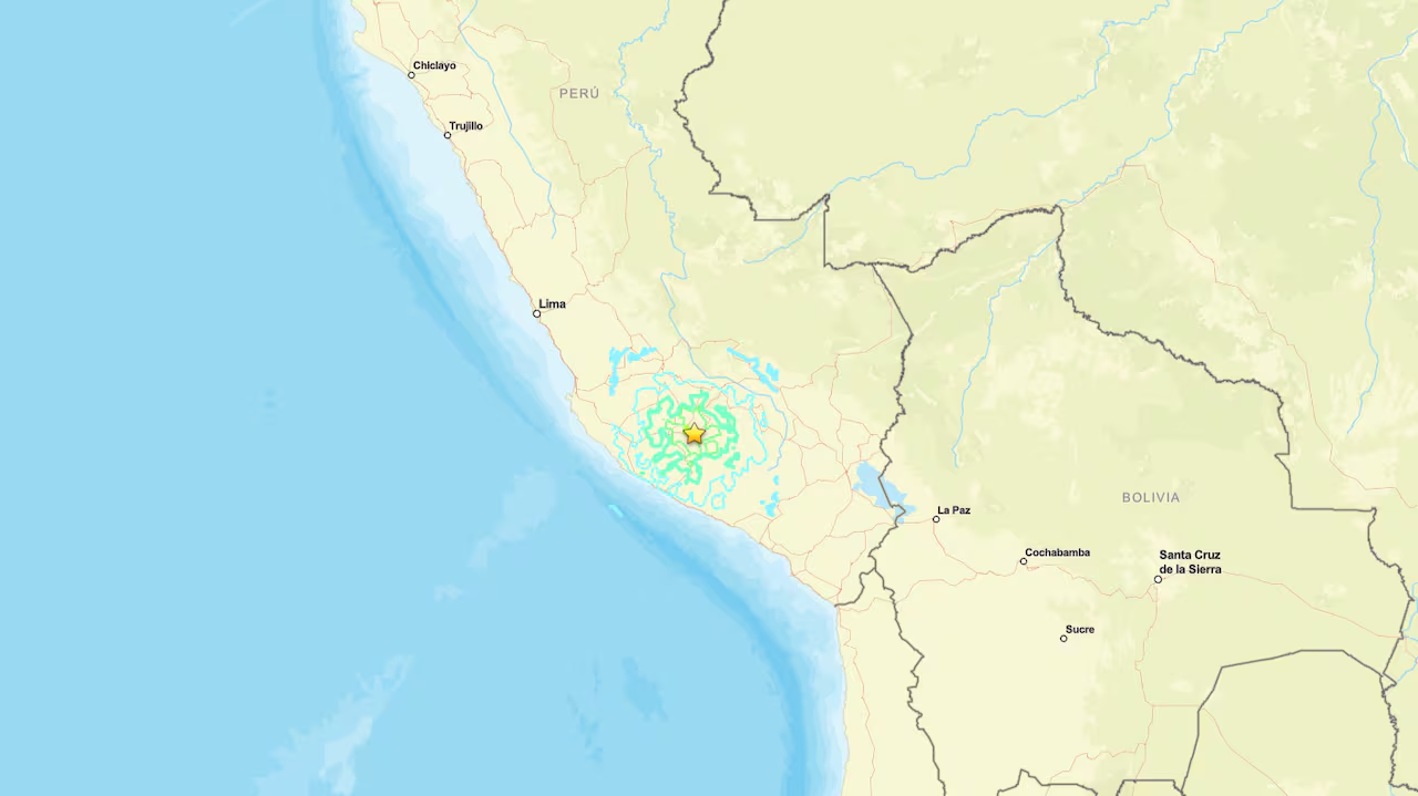
Lima, Peru — A powerful 6.7-magnitude earthquake struck southern Peru today, according to the United States Geological Survey (USGS). Consequently, local response units began assessing conditions across towns near the epicenter. Furthermore, initial reports confirm no immediate casualties or structural damage resulting from the quake.
Earthquake Details and Measurement Variations
The USGS located the epicenter 38 kilometers northwest of Upahuacho in the Ayacucho region at a depth of 66 kilometers. Consequently, tremors were felt across neighboring areas, including Ica and Arequipa. Furthermore, Peru’s Geophysical Institute recorded a higher preliminary magnitude of 7.2. Meanwhile, Civil Defense officials confirmed no emergency calls reporting injuries were received in the initial hours.
Tsunami Assessment and Ring of Fire Context
The Peruvian Navy confirmed there is no threat of a tsunami following the seismic event. Additionally, field crews maintain continuous monitoring protocols to track potential aftershocks. Meanwhile, Peru’s geographical location along the Pacific “Ring of Fire” renders the country subject to frequent seismic and volcanic activity.
Finally, emergency personnel continue inspecting remote districts to confirm structural integrity. Ultimately, local authorities remain on high alert to handle any secondary tremors.