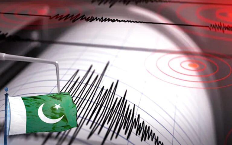
Islamabad, Pakistan – The National Seismic Monitoring Centre, part of the Pakistan Meteorological Department, announced this morning, Saturday, that an earthquake measuring 4 on the Richter scale struck large parts of Karachi, the country’s economic capital.
As a result, there was some concern among residents of coastal and central areas.
Earthquake details
The National Center for Earthquake Monitoring (NCEM) stated in a report carried by Pakistan’s Geo News
that its monitoring equipment accurately pinpointed the earthquake’s location.
The epicenter was found to be at a shallow depth of only 10 kilometers below the Earth’s surface.
Technical data indicated that the focus of the seismic activity was approximately 100 kilometers south of Karachi, specifically in the coastal waters.
Although residents in some parts of Karachi and surrounding areas felt the tremor, local authorities and rescue teams confirmed that,
as of yet, there have been no reports of casualties or injuries. No significant damage to infrastructure or residential buildings has been reported.
Geographical and historical context
It is worth noting that the Islamic Republic of Pakistan is geologically classified as a high-risk area for seismic activity due to its complex geographical location at the boundary between the Indian and Eurasian tectonic plates.
This constant contact and pressure between the plates makes Pakistani territory, particularly the northern
and southwestern regions, perpetually susceptible to earthquakes of varying intensity.
The Meteorological Department and the National Center for Earthquake Monitoring are working around the clock to monitor for any potential aftershocks.
They have also urged citizens to exercise caution and follow standard earthquake safety procedures.
However, the intensity of this particular tremor is classified as “light,” which typically does not cause widespread damage.