
Indonesia – A powerful earthquake measuring 6.5 on the Richter scale struck Indonesia’s Papua province this morning, sparking panic among residents. Authorities have not issued any tsunami warnings yet.
Initial details from the US Monitoring Center
According to reports from the US Geological Survey, the earthquake occurred at a depth of 35 kilometers below the Earth’s surface and approximately 200 kilometers from Jayapura, the capital of the easternmost province.
Indonesian Meteorology: No tsunami indications
For its part, the Indonesian Meteorology and Geophysics Agency announced that the earthquake registered a magnitude of 6.4 and a depth of about 16 kilometers, noting that the mountainous nature of the area limited its strength at the surface and that no tsunami warnings were issued.
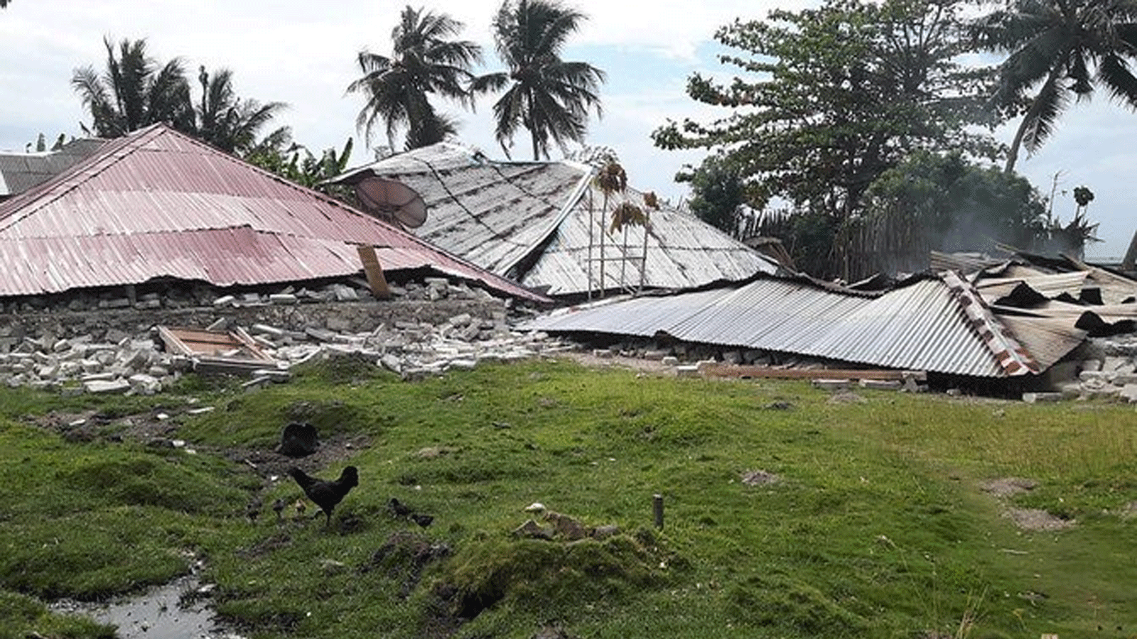
No losses reported so far
The Authority confirmed that no reports of significant human or material losses have been received so far, while emergency teams have been deployed in areas near the earthquake epicenter to monitor the situation on the ground and provide the necessary support to the residents.
Indonesia on the earthquake front line
Indonesia is one of the countries in the world most exposed to seismic and volcanic activity due to its location within the Pacific Ring of Fire, where it experiences hundreds of earthquakes of varying intensity annually, some of which have been devastating in recent decades.
Historical background
Throughout its modern history, Indonesia has experienced devastating earthquakes that caused massive human and material losses, the most notable of which was the 2004 earthquake, which measured 9.1 on the Richter scale.
It caused massive tsunamis that killed more than 220,000 people in several Asian countries. Another earthquake struck the island of Sulawesi in 2018 with a magnitude of 7.5, causing widespread destruction.